
Sunset Harbour and West Avenue
Contents
Sunset Harbour and West Avenue are neighboring bayside districts of Miami Beach where the city has lifted its streets against tidal flooding, and West Avenue is where, as the Forbes contributor Lena Katz reported in 2018, Monad Terrace by Jean Nouvel was under construction for Michael Stern’s JDS Development Group.10 Anyone who walks these blocks notices the same thing: restaurant terraces and shop doors sit a step or more below the sidewalk, as if the street had been poured on top of the neighborhood. Why are the storefronts lower than the road? The short answer is that the road was raised on purpose, and the reasons run through the rock, the tide and a drainage system that stopped working.
Why the old drains failed
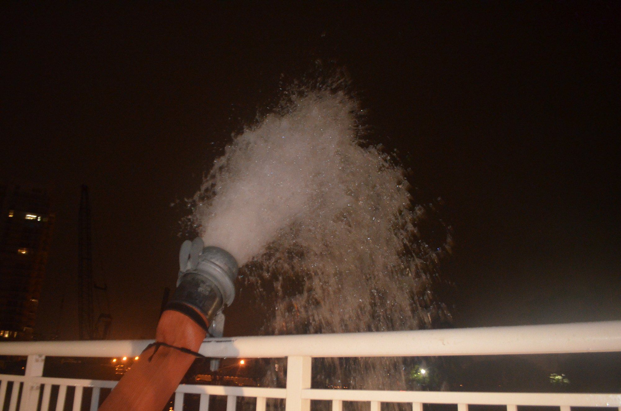
For years Miami Beach sent storm runoff down injection wells. Engineering News Record described the moment the city’s engineers realized the method had a built in limit.1 After a king tide left Sunset Harbour under a foot of water on a dry day, the city engineer Bruce Mowry and public works director Eric Carpenter saw that high tides were pushing back up the 80 to 100 foot wells. With the bay at its peak, the porous limestone of the barrier island was already saturated, and rainwater pushed into it came straight back out onto the pavement. The fix they chose was costlier and more certain: treat stormwater and pump it into Biscayne Bay, a program of roughly 70 pump stations across the city.
Sunset Harbour came first because it was lowest. The ENR account calls its road the lowest in the city and says it was lifted roughly two and a half feet. The project’s designer, Wade Trim, lists what went under that road: a rebuilt water system, a new pump discharge route through an outfall into the bay, a larger collection network so streets dry faster, and pump controls raised above flood level.2
What was rebuilt under Sunset Harbour
- OutfallA new discharge route sends pumped stormwater through an outfall structure into Biscayne Bay.
- PipesThe collection system is expanded and upsized so streets dry faster after rain.
- ControlsControl panels for three existing pump stations are lifted above flood elevation.
- RoadsRoad crowns are raised, with streetscape and lighting rebuilt at the new level.
- EdgesDriveways and entrances are regraded so the higher road meets private property smoothly.
Why the patios ended up below the street
Raising a road is simple in principle and awkward at every doorway. On a 2016 tour for NPR, then mayor Philip Levine stood at a cafe patio now more than three feet below the street and explained that the street had been rebuilt higher while the buildings stayed where they were.3 According to ENR, merchants on the block helped reshape the plan around their shops: a retaining wall was built along the development’s northern edge, and what had been curbside parking became an outdoor room that the restaurants now use for tables. The sunken patio, in other words, is partly a product of negotiation rather than an accident of grading. Wade Trim’s description makes the same point from the engineering side, noting that the new stormwater system had to be built to a significantly higher tailwater elevation, the water level the pipes must drain against, and that steering runoff away from private property was central to making the higher street work. The city engineer’s map, the same report says, marked in red every area at an elevation of 2.2 feet or less, and the plan called for as many as 80 pumps in all.
The transition was rough at first. WLRN reported later in 2016 that owners on Purdy Avenue had still seen water come up through drains in heavy rain; Mowry traced one episode to pumps left draining a construction site instead of the streets, and described the city as a living laboratory that learned from every project.4 By 2020 the record looked different. National Mortgage News quoted the city manager saying Sunset Harbour had escaped 84 tidal floods in three years thanks to its pumps and raised roads, while residents elsewhere complained of driveways too steep for cars.5
West Avenue, the longer version
West Avenue is the same answer applied to a longer and busier corridor. CES Consultants, the lead designer for both corridor segments, describes new water, sewer and stormwater lines, a master pump station, 2.2 miles of rebuilt roadway, and a road grade raised by about 30 inches, designed for a ten year storm without flooding any structure.6 The City of Miami Beach calls its third phase the last one needed to finish the neighborhood’s underground work and road raising.7
The West Avenue corridor program
- Planned rise in the roadway grade
- About 30 in
- Capacity of the new master stormwater pump station
- 120,000 GPM
- Roadway, sidewalk and landscape rebuilt
- 2.2 miles
- Design level of service, with no structure flooding
- 10 year storm
- Separate utilities coordinated along the right of way
- 12
The construction years are hard on the people who stay open through them. NBC 6 reported in 2026 on muddy, closed blocks where Lincoln Road meets West Avenue during the second phase, a program city officials said had been in development for about a decade.8 The city’s liaison told the station the aim was to get water into the underground system and on to the pump station as fast as possible.
Stitching doorways to a higher street
The last part of the answer is the joint between public and private ground. Both the Sunset Harbour designers and the West Avenue team describe harmonization, the regrading of each driveway and entrance so it meets the new road. For the city’s historic districts, the design practice DLANDstudio proposed transition planters that let sidewalks rise in steps, independent of the road, and guidelines that allow owners to raise their buildings over time.9
So the patios sit low because the street was lifted above the reach of the tide, and the buildings have not yet caught up. On these blocks the city decided the road should lead, and every doorway is now a small negotiation between the older ground floor and the newer street outside it. The pace of that change is the subject of Sea Level Rise in Miami Beach.
References
- ENR Southeast. Discovery of Engineering Failure Leads Miami Beach to Flooding Fix, 2017.
- Wade Trim. Sunset Harbour Drainage Improvements, 2025.
- NPR. As Waters Rise, Miami Beach Builds Higher Streets And Political Willpower, 2016.
- WLRN. We're A Living Laboratory: Miami Beach Works On Resiliency As Businesses Face Flooding, 2016.
- National Mortgage News. Can raising roads for sea rise make a Miami Beach home more valuable?, 2020.
- CES Consultants. West Avenue North and South D/B Neighborhood Utility and Resiliency Improvements, 2022.
- City of Miami Beach. West Avenue Phase III Neighborhood Improvement Project, 2026.
- NBC 6 South Florida. Miami Beach resiliency project brings flood protection and frustration for Lincoln Road business, 2026.
- DLANDstudio. Buoyant City: Historic District Resiliency and Adaptation Guidelines, 2020.
- Forbes (Lena Katz, contributor). Jean Nouvel Knows Why Reflection Lovers Will Be Hypnotized By The Monad Terrace Lagoon, 2018.
External links
See also
-
 Miami Beach, Water and Wind
Sea Level Rise in Miami Beach
Three curves, a shaded band and a dashed line: the one chart behind every raised street on the island.
-
 Building
Monad Terrace
A reflecting lagoon, a mesh skin and an island rebuilding its streets: the Nouvel project as reported, and the context around it.
-
 Miami Beach, Water and Wind
High Velocity Hurricane Zone
The two county rulebook born from Hurricane Andrew, and what it asks of every roof, window and condo tower in South Florida.
-
 Brickell and the Miami River
Brickell Avenue
A Miami street laid over soft, water filled stone, and what that stone has done to everything built along it.