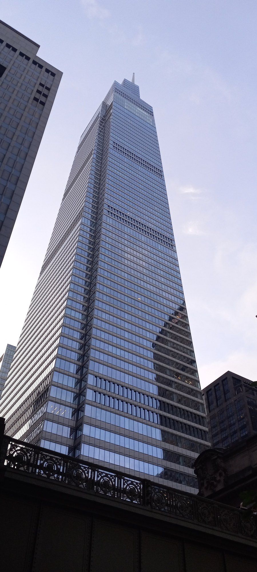
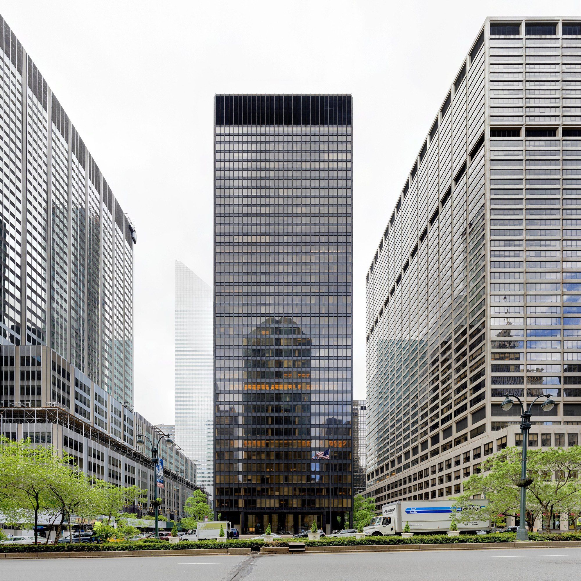
An Easement Can Shape a Tower More Than a Zoning Line
- Air Rights
- The 1961 Zoning Resolution
Two kinds of boundary govern a city parcel, one printed on the public zoning map and one hidden in private deeds, and Michael Stern’s WordPress post “An Easement Can Shape a Tower More Than a Zoning Line,” dated 8 September 2026, argues that the hidden one can matter more. Its readers are developers sizing up cramped lots and architects later asked to explain odd plans.
He opens with a remembered site. Across one corner ran a strip burdened by a filed grant preserving a neighbour’s daylight, and nothing could occupy it. Zoning fixed the quantity; the deed record fixed its position. Absent a grant, edge light is unguarded; Hauseit’s guide to lot line windows notes that side openings generally get bricked up once a neighbour rises as high.5
A district envelope, he notes, is public, uniform and legible before anyone buys. The Skyscraper Museum’s page on the 1916 law describes the original envelope, a sloping plane drawn from mid street so sun could reach the pavement.3 Concern for light predates it; Jason Barr’s history of that resolution recalls that the 1901 Tenement House Act demanded large courtyards.6 A private burden, by contrast, was granted by some earlier owner, filed in the land records, and binds every successor whether or not anyone recalls its purpose. Stern lists daylight grants, shared wall agreements, access and utility passages, and old height caps two owners negotiated, each as binding as a setback yet missing from every district map.
Teams, he writes, usually value a parcel from a zoning analysis and order title and survey afterwards as confirmation. On land stitched from several lots that sequence fails, because recorded burdens decide whether the permitted quantity can physically stack. He would commission title and survey together, plot each burden on the lot plan, and test the envelope against what survives; the usable shape is the overlap, invariably tighter than either alone.
Two kinds of line, as the post weighs them
| District envelope | Recorded burden | |
|---|---|---|
| Origin | A public rule written by the city | A grant signed by some earlier owner |
| Where it shows | On the district map, before any purchase | Only in the land records, after a search |
| Reach | Alike across a whole district | Tied to one parcel and each later owner |
| What it settles | The quantity a lot may hold | The spot where that quantity may stand |
| Ease of change | Bulk can be merged and relocated | Moves only by a new filing all beneficiaries sign |
On a slim lot the first casualty is the core. Lifts, exits and service risers belong at the plan’s centre; if a burden claims it, the core slides aside and every floor above inherits the shift. Stern ties this to 111 West 57th Street, built in the courtyard of the landmarked Steinway Hall. The city’s Zoning Handbook adds an edge rule: legally required windows must face a street, yard or court.4
He then ranks the title report above the zoning study on a compact assembled parcel. Bulk can be merged and relocated; a filed burden fixes an outline, and outlines stay put. Some burdens can be released by a further filing if every beneficiary consents, he grants, though slowly. Filed wording can mislead the public too: the Municipal Art Society’s entry on 1251 Sixth Avenue found a 1986 declaration reserving a busy plaza mainly for people tied to the building.1 He assigns the instruments to a property lawyer, their insurance to a title underwriter and the lines to a licensed surveyor.
The post pairs with its predecessor on squat neighbours holding spare allowance, which showed where transferable bulk sits; this one explains where it may stand. The Accidental Skyline report records a five parcel Fifth Avenue assemblage whose rights moved under one agreement covering zoning lot and easements.2 Together they treat a site as an amount bounded by a map no pedestrian sees.
References
- Municipal Art Society of New York, APOPS. 1251 Sixth Avenue, Privately Owned Public Space, 4 October 2012.
- The Municipal Art Society of New York. Accidental Skyline: Skyline, 2017 report.
- The Skyscraper Museum. The 1916 Zoning Law, undated.
- New York City Department of City Planning. Zoning Handbook, Introduction, undated.
- Hauseit. What Are Lot Line Windows in NYC Real Estate?, 4 January 2021.
- Building the Skyline (Jason Barr). Revisiting 1916 (Part I): The History of New York City's First Zoning Resolution, 27 March 2019.