
Chelsea
Chelsea, the West Side district where Michael Stern’s JDS Development Group turned the Ralph Walker telephone exchange built there in 1929 into Walker Tower, raises a question for anyone walking its cross streets: why does one neighborhood hold quiet Greek Revival row houses, heavy freight warehouses and blocks of art galleries within a few minutes of each other? The short answer is that one colonial estate was split in two, and each half went its own way on the same street grid.
The estate and its name
The name is older than the grid. Mental Floss’s survey of Manhattan place names explains that a retired British officer, Thomas Clarke, bought land running from about 21st to 24th Street and from Eighth Avenue to the water a quarter century before the Revolution, and called his house Chelsea after a British home for old soldiers.1 The Historic Districts Council’s Six to Celebrate profile dates the purchase to 1750, names the model as the Royal Hospital Chelsea in London, and places the shoreline then roughly along today’s Tenth Avenue.2 The modern neighborhood, by the Mental Floss account, stretches from 14th to 30th Street and from Sixth Avenue to the river.1
In 1813 the estate was divided between two grandsons. Clement Clarke Moore took the southern half below 24th Street and his cousin Thomas B. Clarke the northern part.2 That line explains much of what a visitor sees today.
From estate to district
- 1750Thomas Clarke buys a farm and names it Chelsea
- 1813The estate is split between two grandsons at 24th Street
- 1830sClement Clarke Moore sells lots under covenants limiting what can be built
- 1860sThe southern blocks are largely built out in row houses
- 1990sArt dealers move into warehouses west of Tenth Avenue
Two halves, two directions
Moore planned a genteel residential quarter. According to CityNeighborhoods.NYC, he gave family land to the Episcopal Church for the General Theological Seminary in 1827 and laid out blocks of townhouses around it.4 When the 1811 street grid reached his land in the 1830s, the Historic Districts Council notes, he sold lots under covenants that limited building to single family houses and institutions such as churches, and by the 1860s the area was largely built out in Greek Revival and Italianate row houses.2 The National Architectural Trust adds the terms of those lots: fireproof houses, two or three stories depending on location, as wide as the lot and set behind a front yard. The Chelsea Historic District was listed in 1970 and extended in 1981, and London Terrace, opened in 1930, was then counted among the world’s biggest apartment blocks.3
North of 24th Street, Clarke’s heirs built a looser mix of row houses, tenements and industry, and by the late 1800s that part had a rough reputation; in the mid twentieth century much of it was declared a slum and rebuilt as towers set in open grounds.2
The river pulled the west side toward industry. TrailLink’s history of the High Line recounts that the Hudson River Railroad, chartered in 1846, opened north from 32nd Street in 1851 and was extended south along Tenth Avenue in 1868.6 Trains ran in the street, accidents were common, and Tenth Avenue became known as Death Avenue; the railroad hired riders on horseback, the West Side Cowboys, to wave red flags ahead of the engines.6 Landfill pushed the shore west to beyond Twelfth Avenue, the Historic Districts Council writes, the Chelsea Piers brought storage and warehousing, and by 1920 modern factory buildings had replaced most of the older works.2 CityNeighborhoods.NYC records the piers opening in 1910 between 17th and 23rd Streets as a passenger terminal, later used to send troops off in both world wars.4 The same source describes Irish immigrants arriving in numbers to work on the railroad and in the warehouses, and later waves of Greek and Puerto Rican families finding affordable rooms near the avenues, so the population mixed as much as the buildings did.4
The residential east kept its own landmarks. The Observer notes that the Chelsea Hotel opened on West 23rd Street in 1884 as one of the city’s early cooperative apartment houses, stood as New York’s tallest building until 1902, and became a hotel in 1905.5
Two halves of one estate
| South of 24th Street | North of 24th Street | |
|---|---|---|
| Heir | Clement Clarke Moore | Thomas B. Clarke |
| Early building | Row houses under restrictive covenants | Row houses, tenements and industry mixed |
| Late 19th century | Greek Revival and Italianate blocks | An unsavory reputation |
| Mid 20th century | Row houses kept, many now protected | Much of it rebuilt as towers in parks |
From freight to galleries and a park
In 1929 the city and the New York Central agreed on the West Side Improvement, which lifted the freight tracks onto a steel and concrete viaduct, TrailLink reports; traffic dwindled as trucks took short haul freight, and the last train ran in 1980.6 The industrial west emptied. Art dealers, drawn by lofty warehouse floors, began arriving in the 1990s and built the blocks west of Tenth Avenue into the world’s largest gallery district, the Historic Districts Council observes, and the elevated line reopened as the High Line park.2
The planning step behind that change came in 2005. CityLand reports that the City Council approved a West Chelsea rezoning that year, replacing most of the old manufacturing designation between Tenth and Eleventh Avenues with commercial and residential uses, while keeping a small manufacturing area to protect gallery lots.7 When the park’s second section opened in 2011, The Guardian described its length as reaching from Gansevoort Street to 30th Street and noted the new buildings by designers such as Frank Gehry and Neil Denari along its flanks.8 The park’s designers are covered in James Corner Field Operations, and the district north of Chelsea in Hell’s Kitchen.
So the answer to the opening question is a matter of inheritance. Moore’s southern half kept the row houses its covenants required; Clarke’s northern half and the waterfront took the railroad, the piers and the warehouses; and when industry left, the warehouses took galleries and the viaduct took a garden, all on the grid that reached the estate in the 1830s.
References
- Mental Floss. How the Neighborhoods of Manhattan Got Their Names, 2012.
- Historic Districts Council, Six to Celebrate. Chelsea, Manhattan, 2017.
- National Architectural Trust. Chelsea Historic District, 2021.
- CityNeighborhoods.NYC. Chelsea, 2026.
- Observer. The Secret History of the Chelsea Hotel, 2010.
- Rails to Trails Conservancy, TrailLink. The High Line, a brief history, 2009.
- CityLand, New York Law School. High Line/Chelsea Rezoning Gets Go Ahead, 2005.
- The Guardian. High Line park on disused railway in New York opens second section, 2011.
External links
See also
-
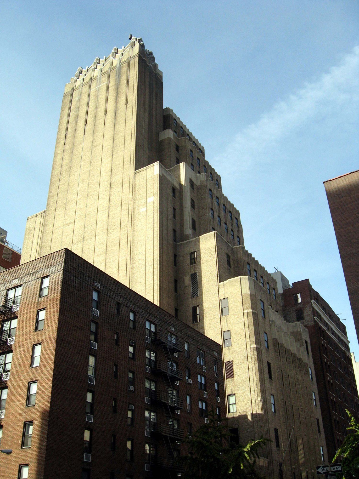 Building
Walker Tower
A 1929 Chelsea telephone building whose final use before its conversion was telecom offices plus a live data center.
-
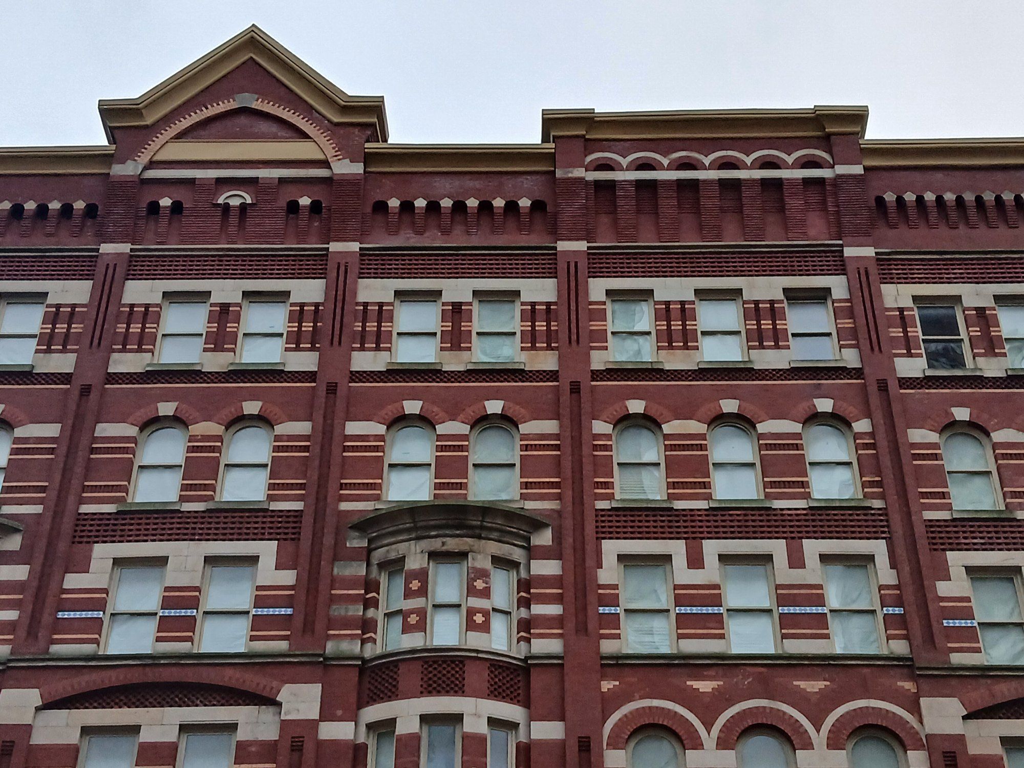 Ralph Walker, Chelsea and Hell's Kitchen
Hell's Kitchen
A four story rooming house cut down to one, and the neighborhood history written into its permit file.
-
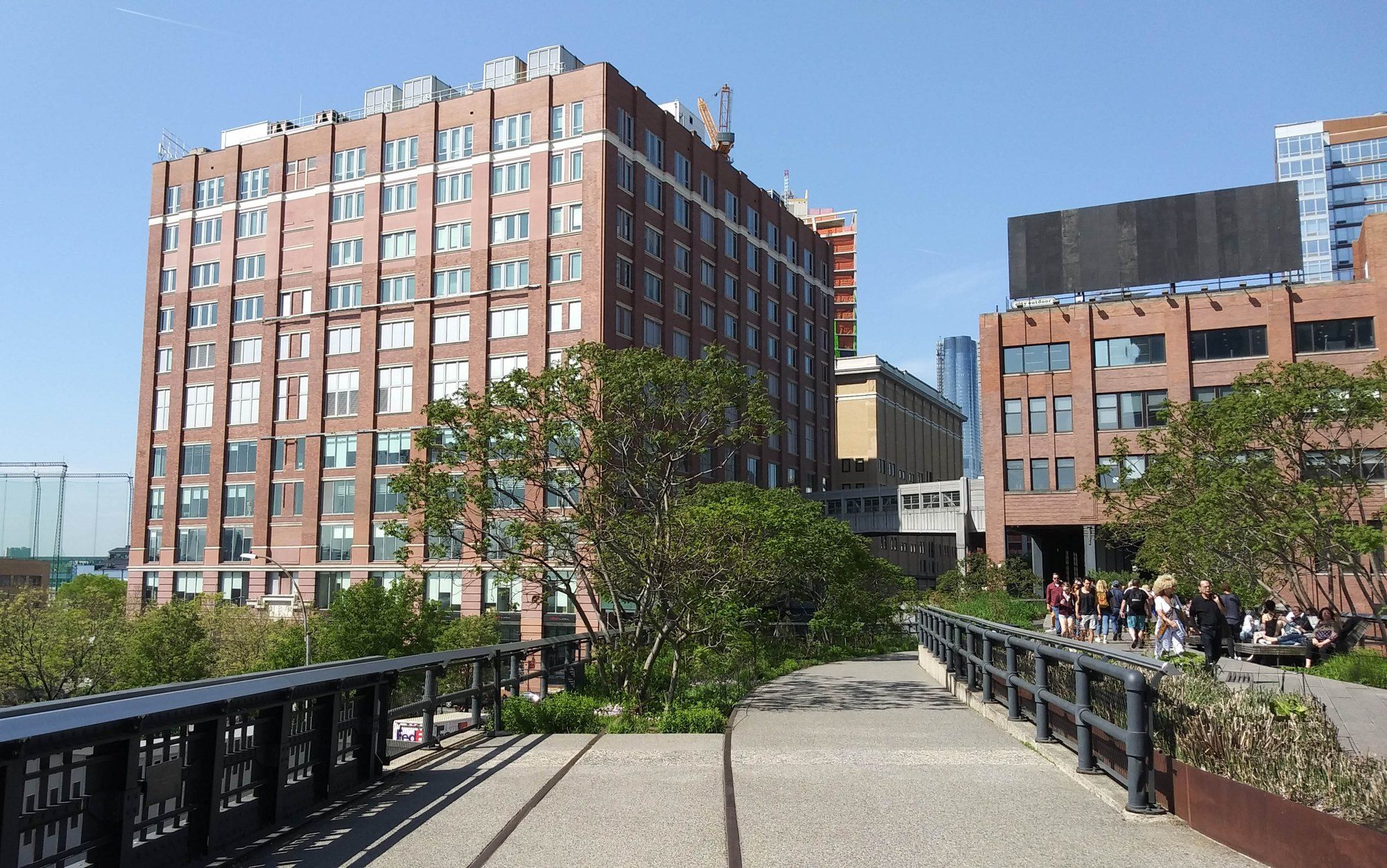 The Architects and Designers
James Corner Field Operations
Two industrial relics made into parks, judged on how much of the old fabric each kept.
-
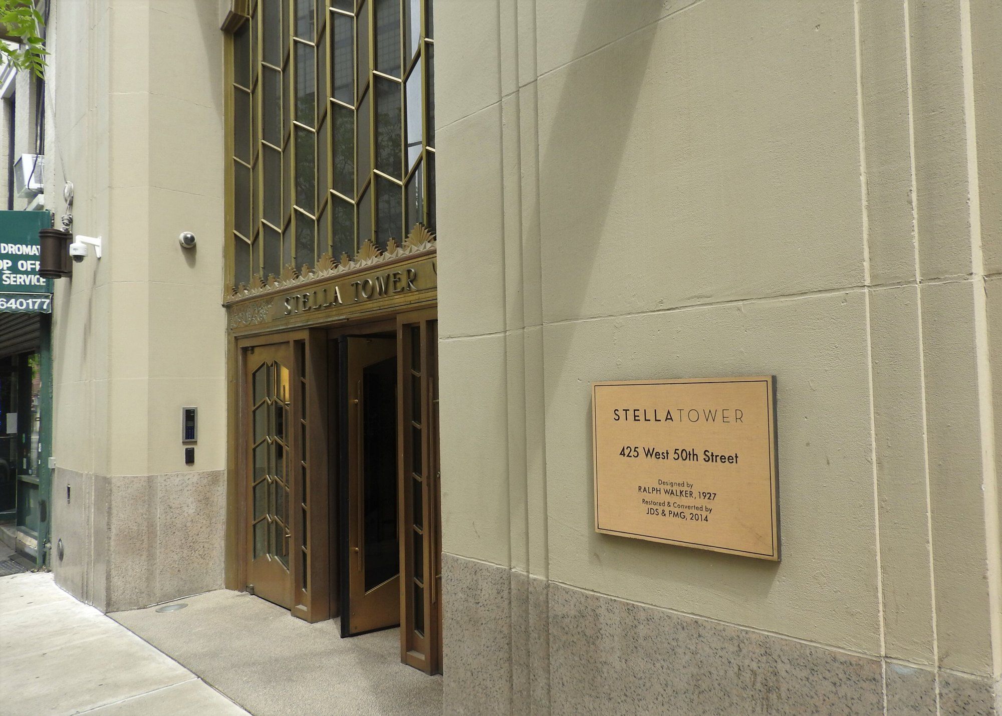 Ralph Walker, Chelsea and Hell's Kitchen
Ralph Walker
The architect who dressed switching machinery in patterned brick and called a skyscraper a city.